Professional Utility Locating & Mapping Services Across Utah
Protect your project with accurate underground utility locating, GPR scanning, concrete scanning, utility line marking, and GPS & GIS mapping services in Utah.
ABOUT US
Reliable
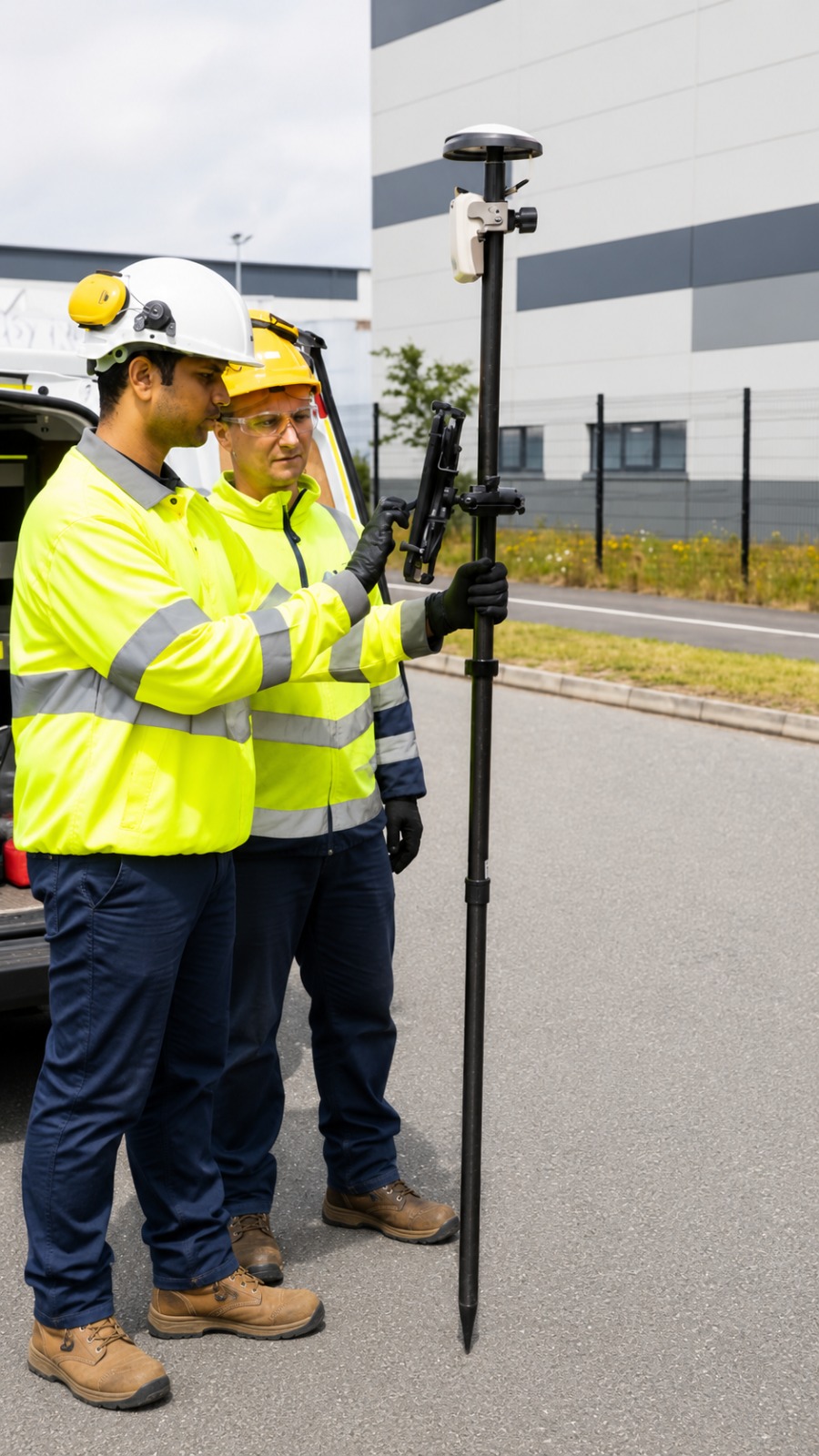
Utility Locating & Mapping Utah provides reliable and professional underground utility locating services in Utah for residential, commercial, industrial, and construction projects. Our team helps identify buried utility lines, including water lines, electrical cables, sewer pipes, communication lines, and other underground utilities, before excavation, digging, drilling, or site development begins.
We also provide advanced Ground Penetrating Radar (GPR) scanning, concrete scanning, and underground utility detection services to help locate hidden objects and subsurface features with greater accuracy. Whether you are preparing for construction, renovation, trenching, coring, or excavation, our services are designed to improve jobsite safety, reduce the risk of utility damage, and help prevent costly project delays.
For projects that require detailed documentation, we offer professional GPS & GIS utility mapping services and underground utility line marking throughout Utah. Our goal is to provide clear, accurate, and dependable information that contractors, engineers, property owners, and project managers can use for future planning, maintenance, and construction. Choose Utility Locating & Mapping Utah for trusted utility locating and mapping solutions across the state.
Our Services
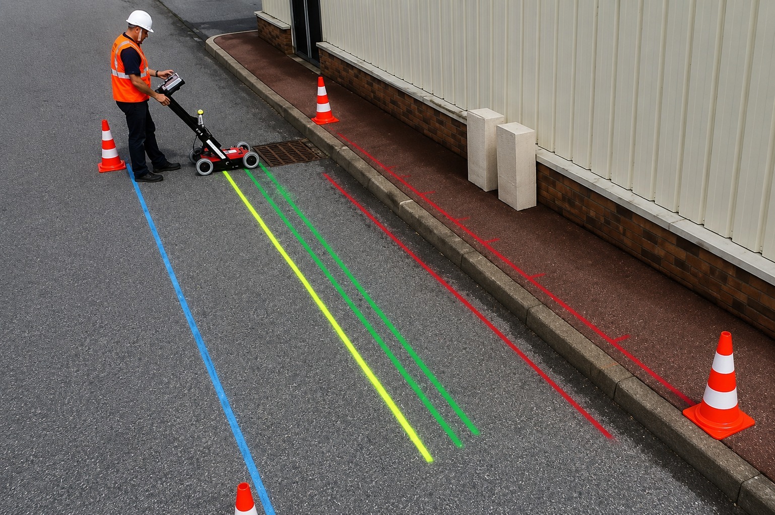
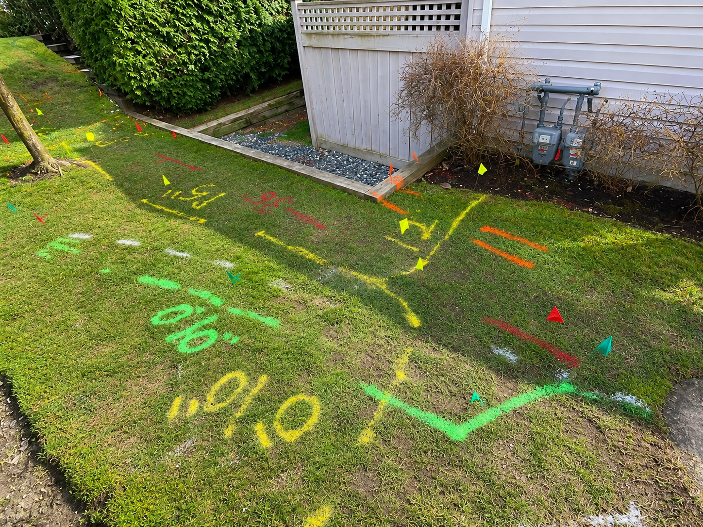
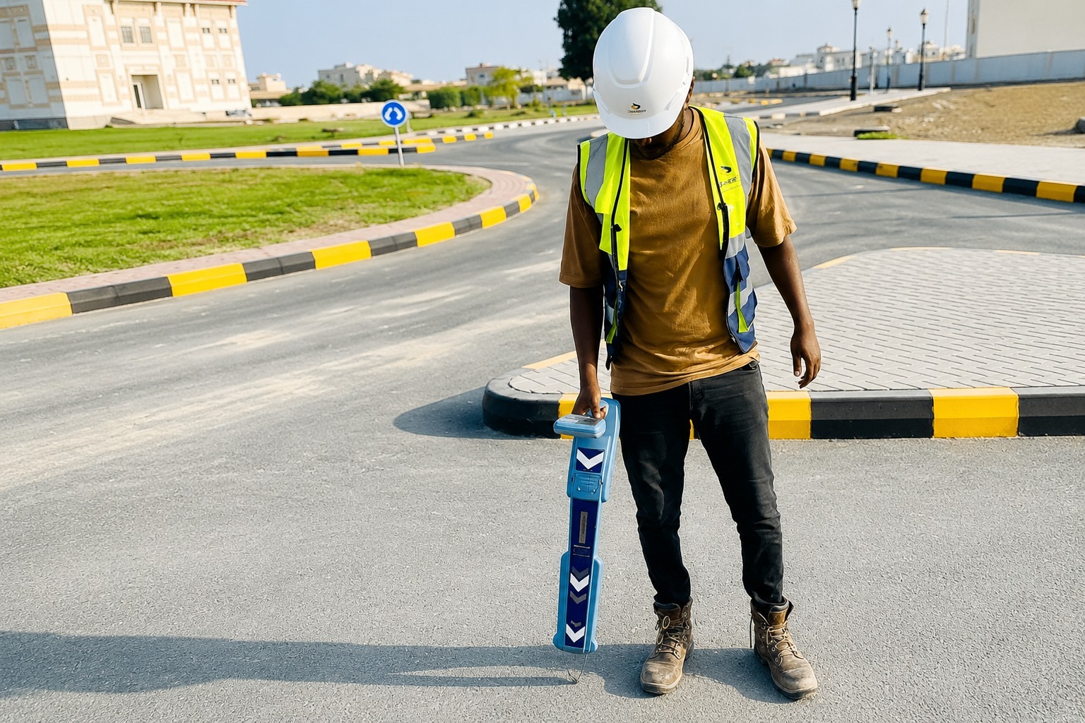
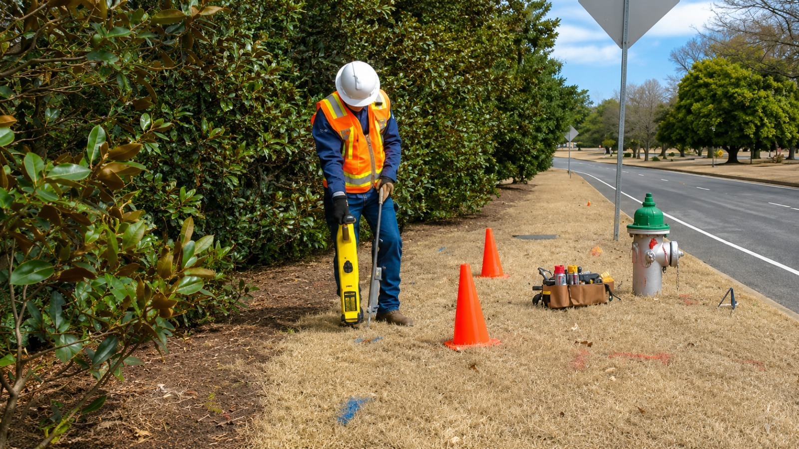
Accurate utility line marking helps identify underground pipes, cables, and other buried infrastructure before digging, reducing damage risks and helping construction projects proceed safely.
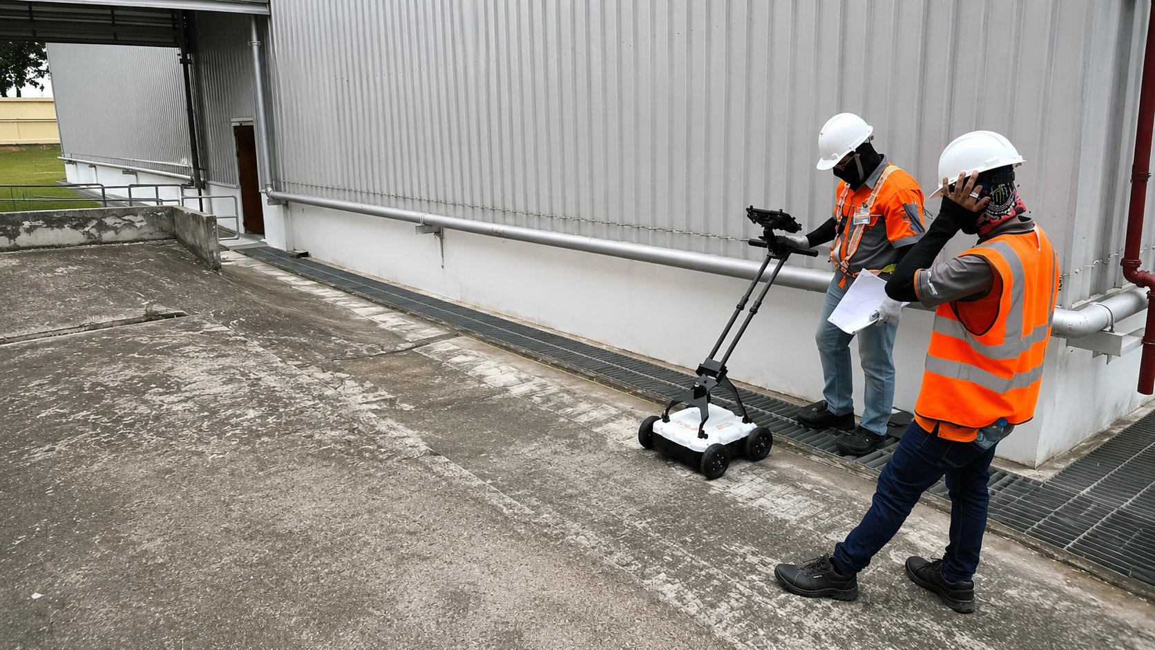
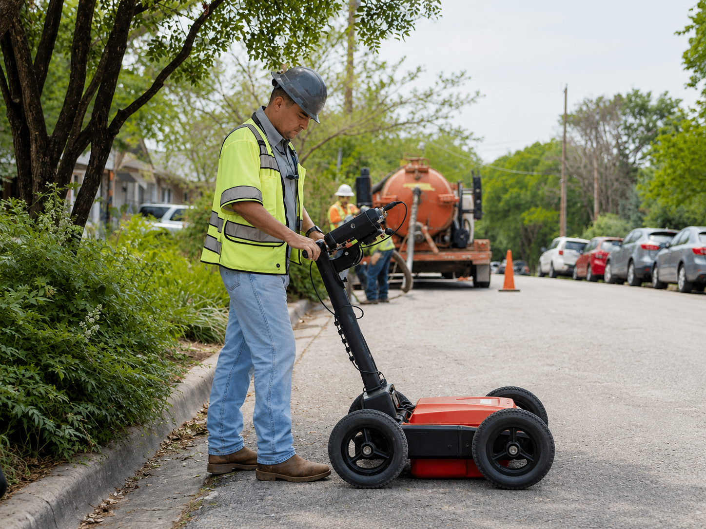
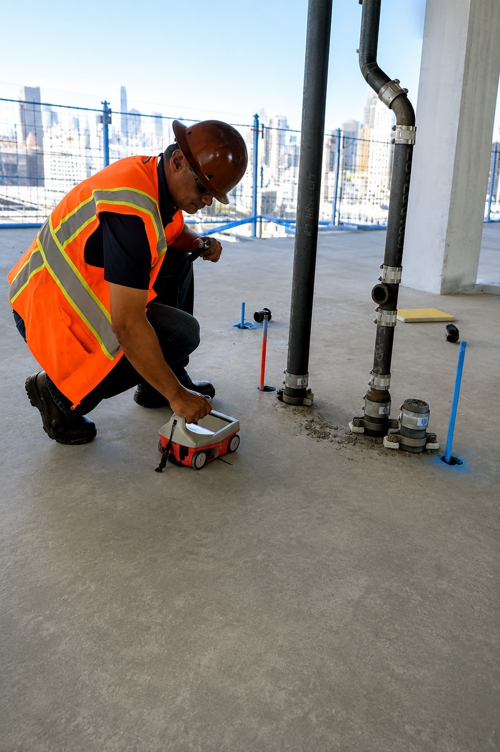
Ground Penetrating Radar scanning helps detect buried utilities, voids, conduits, and subsurface objects without excavation, providing valuable information for safer planning, drilling, and construction.
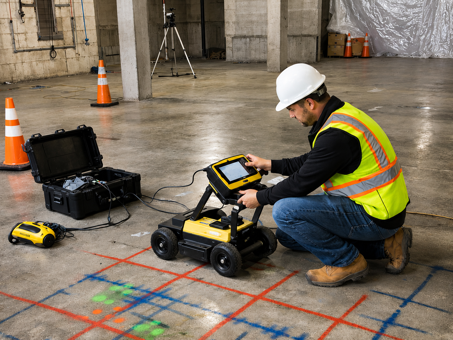
Concrete scanning helps locate rebar, post-tension cables, conduits, and embedded utilities before cutting, coring, or drilling, helping prevent costly damage and improve job-site safety.
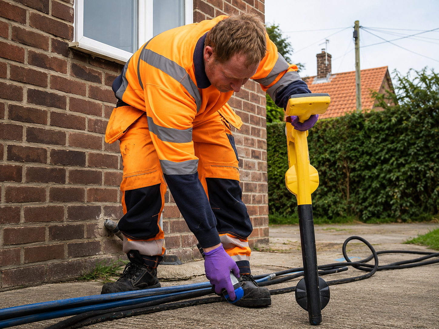
Private utility locating identifies underground lines that may not be covered by public utility marking services, helping property owners and contractors plan excavation and construction more safely.
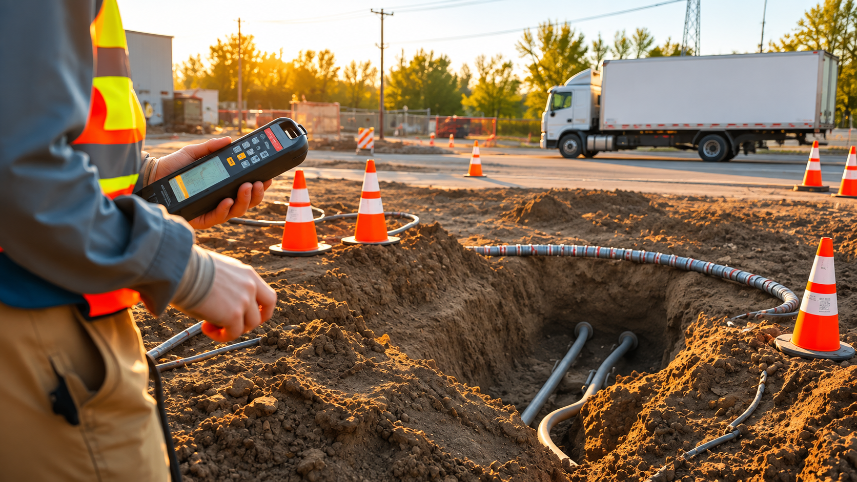
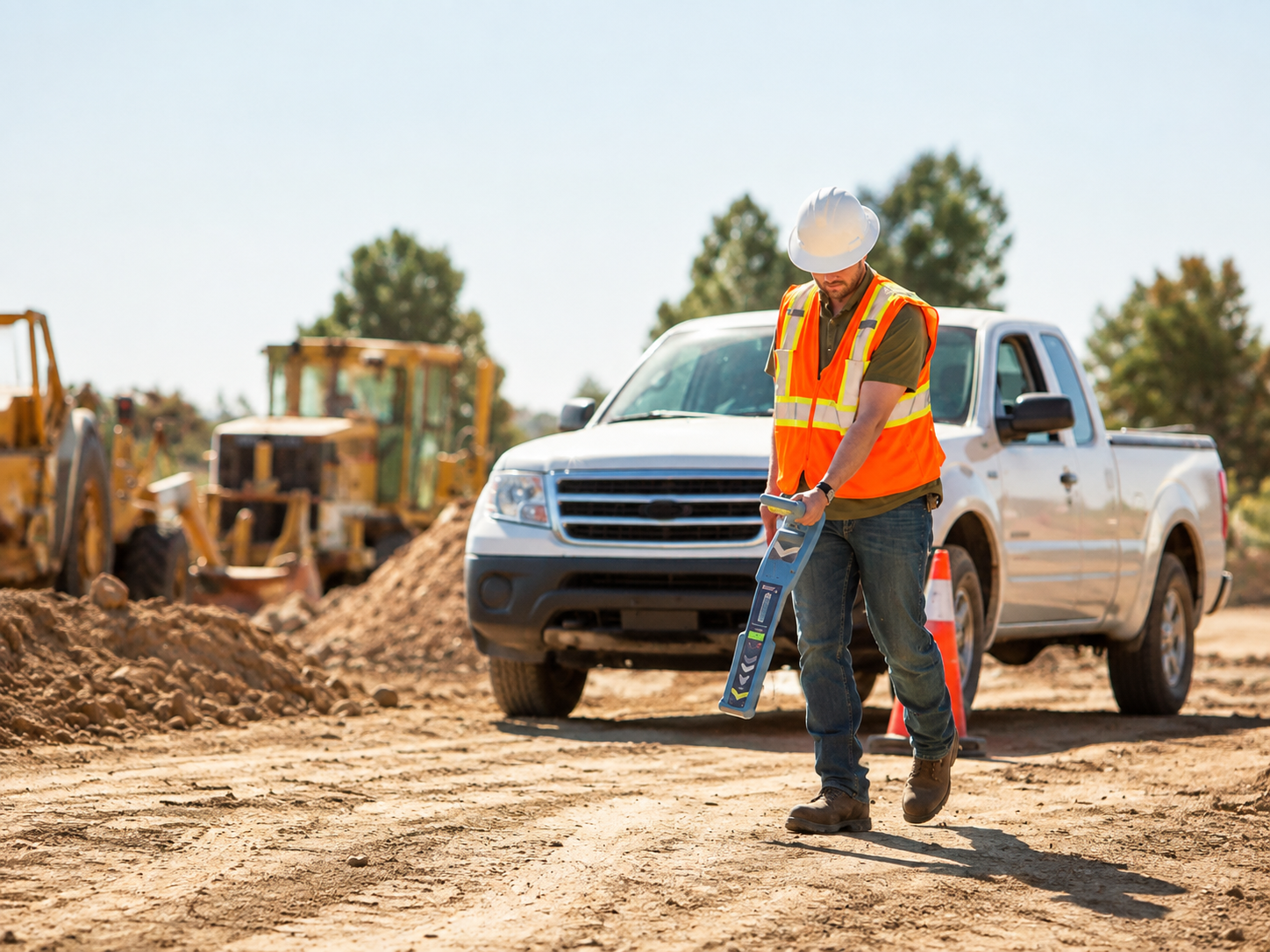
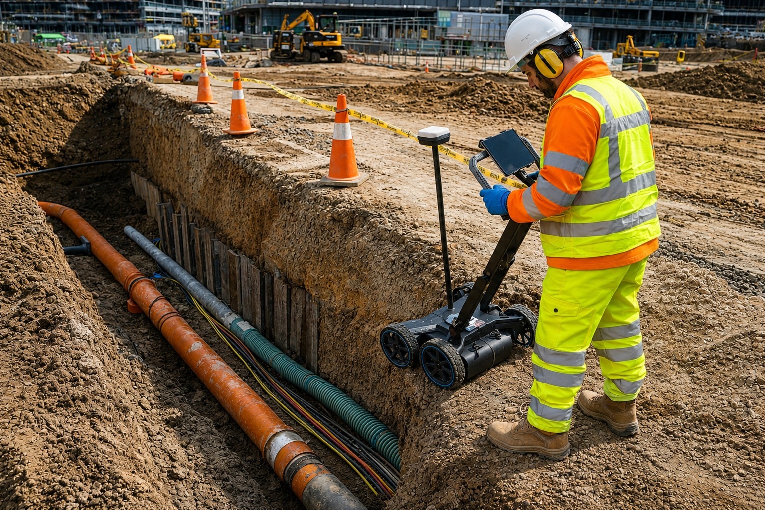
Underground utility detection helps locate buried water, gas, electric, communication, and other utility lines before excavation, reducing project delays, accidental damage, and safety risks.
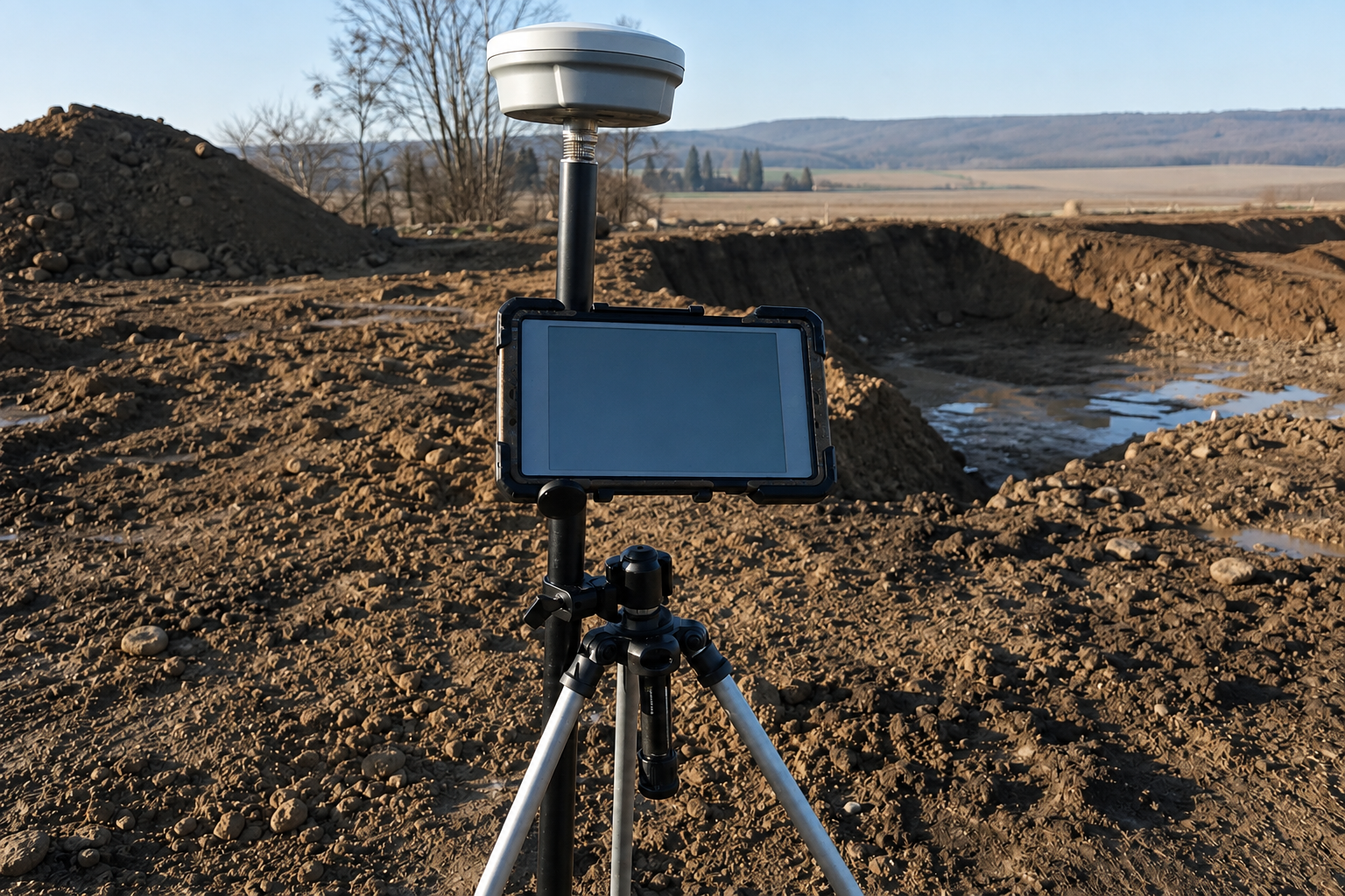
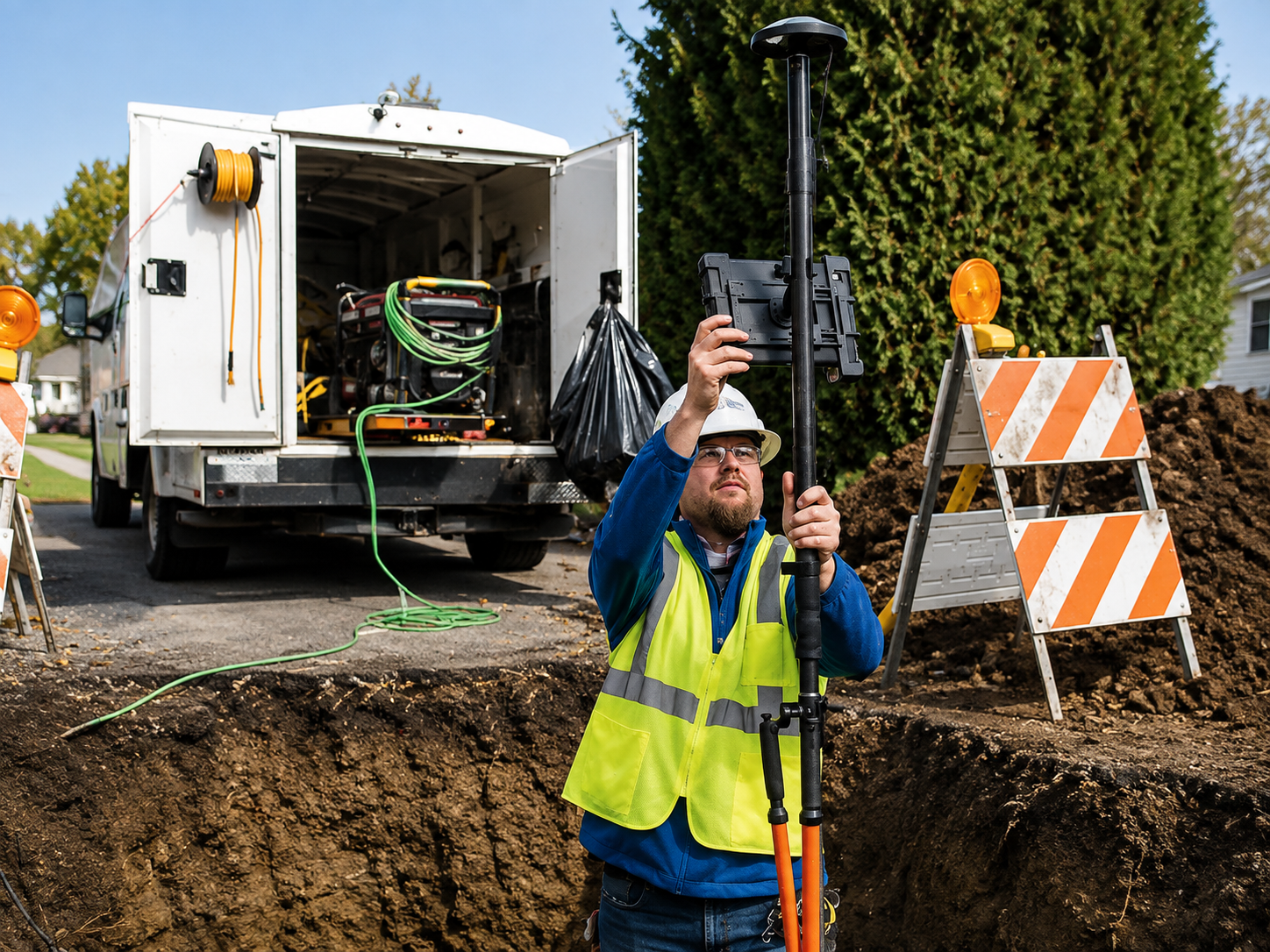
GPS and GIS utility mapping creates accurate digital records of underground utilities and site infrastructure, making future planning, maintenance, construction, and asset management more efficient.
The Process
Our Simple 3 Step Process

Contact Us
Start by completing the 'Get a Free Quote' form on our website to share your needs with us so we can take care of you.

Schedule Your Estimate
Next, we'll arrange a property visit at a time that works for you to provide an in-person estimate for your needs.

Get The Job Done
After you approve our estimate, we'll schedule a date to complete the job. Our team will work hard to exceed your expectations!
photo gallery
See Why Our Customers Love Us
Our Service Area?
Salt Lake City
West Valley City
West Jordan
Provo
Orem
Sandy
St. George
Ogden
Layton
South Jordan
Lehi
Millcreek
Taylorsville
Logan
Murray
Draper
Bountiful
Riverton
Herriman
Spanish Fork
Roy
Pleasant Grove
Kearns
Tooele
Springville
Cottonwood Heights
Cedar City
Eagle Mountain
Clearfield
Midvale
American Fork
Syracuse
Saratoga Springs
Washington
Holladay
Magna
Clinton
North Salt Lake
Payson
South Salt Lake
Farmington
Brigham City
Highland
Centerville
Vernal
Heber City
Santaquin
Mapleton
Smithfield
Grantsville
North Ogden
West Point
Hurricane
Bluffdale
South Ogden
Richfield
Providence
Tremonton
Ivins
Price
Our Reviews
What Our Customers Have to Say About Us!
Very professional and easy to work with. The team located our underground utilities quickly and clearly marked everything before excavation. The process was smooth and saved us a lot of time.

We needed GPR and concrete scanning before starting a renovation project. They were thorough, arrived on time, and explained the findings clearly. Great service from start to finish.
Excellent utility locating and mapping service. The crew was knowledgeable, efficient, and provided accurate information for our project. I would definitely recommend them for future work.
FREQUENTLY ASKED QUESTIONS
What is private utility locating?
Private utility locating identifies underground lines such as electrical cables, water lines, sewer pipes, communication lines, and other utilities before excavation or construction begins.
Why should I locate underground utilities before digging?
Utility locating helps reduce the risk of damaging buried lines, prevents costly repairs, improves jobsite safety, and helps projects move forward with fewer delays.
What is Ground Penetrating Radar used for?
Ground Penetrating Radar, or GPR, is used to detect underground utilities, pipes, conduits, voids, rebar, and other objects without damaging the surface.
Can you scan concrete for rebar and embedded utilities?
Yes. Concrete scanning can help locate rebar, post-tension cables, electrical conduits, and other embedded objects before cutting, drilling, or coring concrete.
Do you provide GPS and GIS utility mapping?
Yes. GPS and GIS utility mapping can be used to record detected utility locations and create organized digital maps for future planning, maintenance, and construction projects.
Request A Free Quote
BUSINESS
SERVICES
SERVICE AREAS
OPERATING HOURS
Sun: Closed
Mon: 7:00am - 7:00pm
Tue: 7:00am - 7:00pm
Wed: 7:00am - 7:00pm
Thu: 7:00am - 7:00pm
Fri: 7:00am - 7:00pm
Sat: 7:00am - 7:00pm